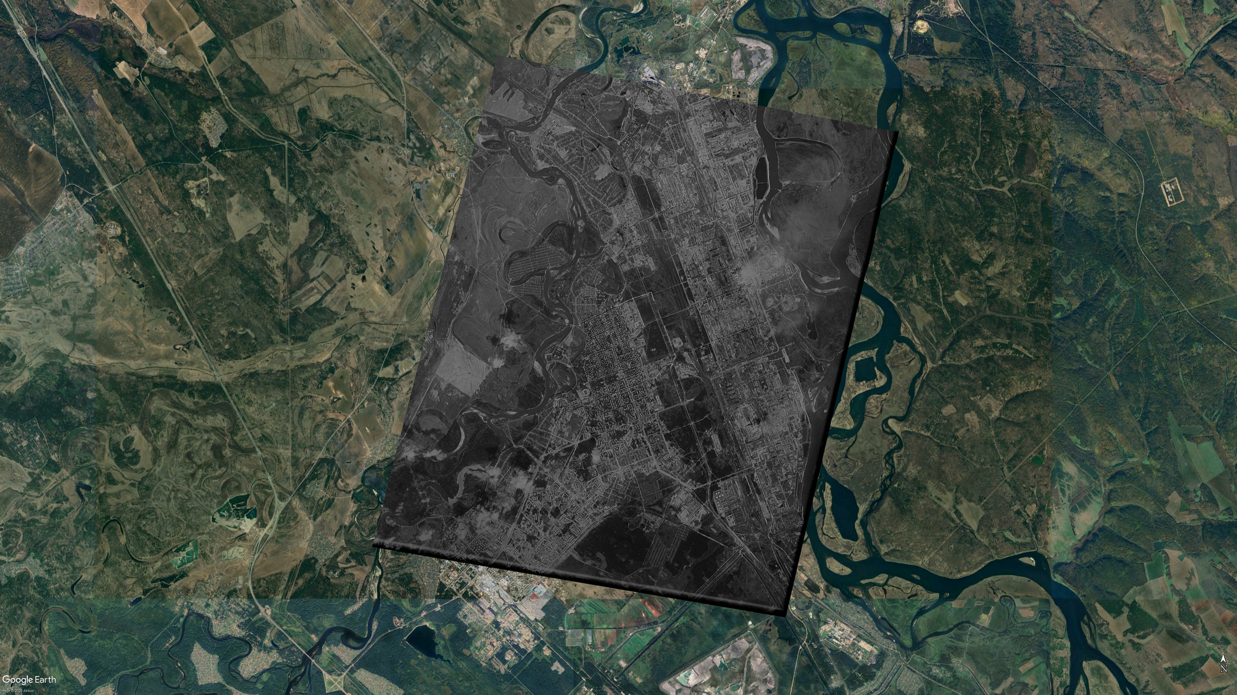
In addition to the 1970 image, there is a satellite (aerial?) image of Angarsk from 1980. The resolution of the 1980 image is much higher than that of the 1970 image.
Source: https://earthexplorer.usgs.gov/
Entity ID: D3C1216-200489F003
Coordinates: 52.672 , 102.964
Acquisition Date: 1980-08-17
Camera Resolution: 2 to 4 feet
Cropped image 12062x22113 (no rotation, no resampling): https://malykh.com/store/2025-04/D3C1216-200489F003_d-c.jpg (79MB)
Again, I have tried to align the image (slightly inaccurate). KMZ (open with Google Earth): https://malykh.com/store/2025-04/D3C1216-200489F003.kmz (79MB)
0 comments:
Post a Comment